Nagorno-Karabakh DMZ
For more than twenty-five years after the 1994 ceasefire, a line of contact separated Armenian and Azerbaijani forces around Nagorno-Karabakh. Trenches, bunkers, minefields, observation posts, and military roads extended across fields and low hills, turning an open landscape into a heavily guarded frontier.
There was rarely a continuous wall. The boundary was defined instead by distance, restricted movement, military positions, and the constant possibility that fighting could resume. The ceasefire stopped large-scale war, but the landscape remained suspended between conflict and an uneasy peace.
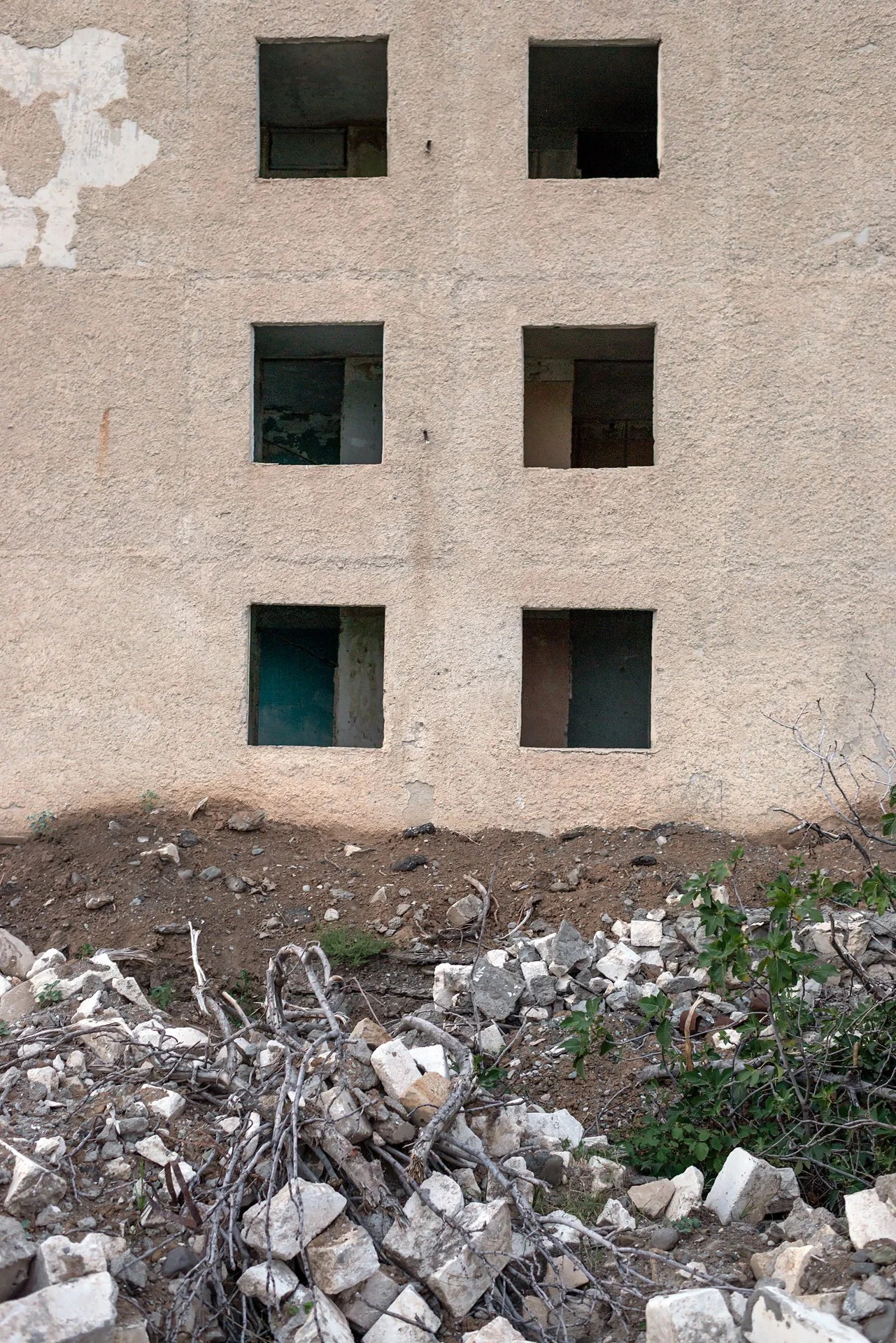
The war of 2020 radically altered this geography and displaced the old line of contact. Yet its physical traces remain—trenches cut into the ground, abandoned positions, damaged structures, and terrain shaped by years of vigilance. This series follows a frontier that could shift on a map while leaving its history inscribed in the land.