Korean DMZ
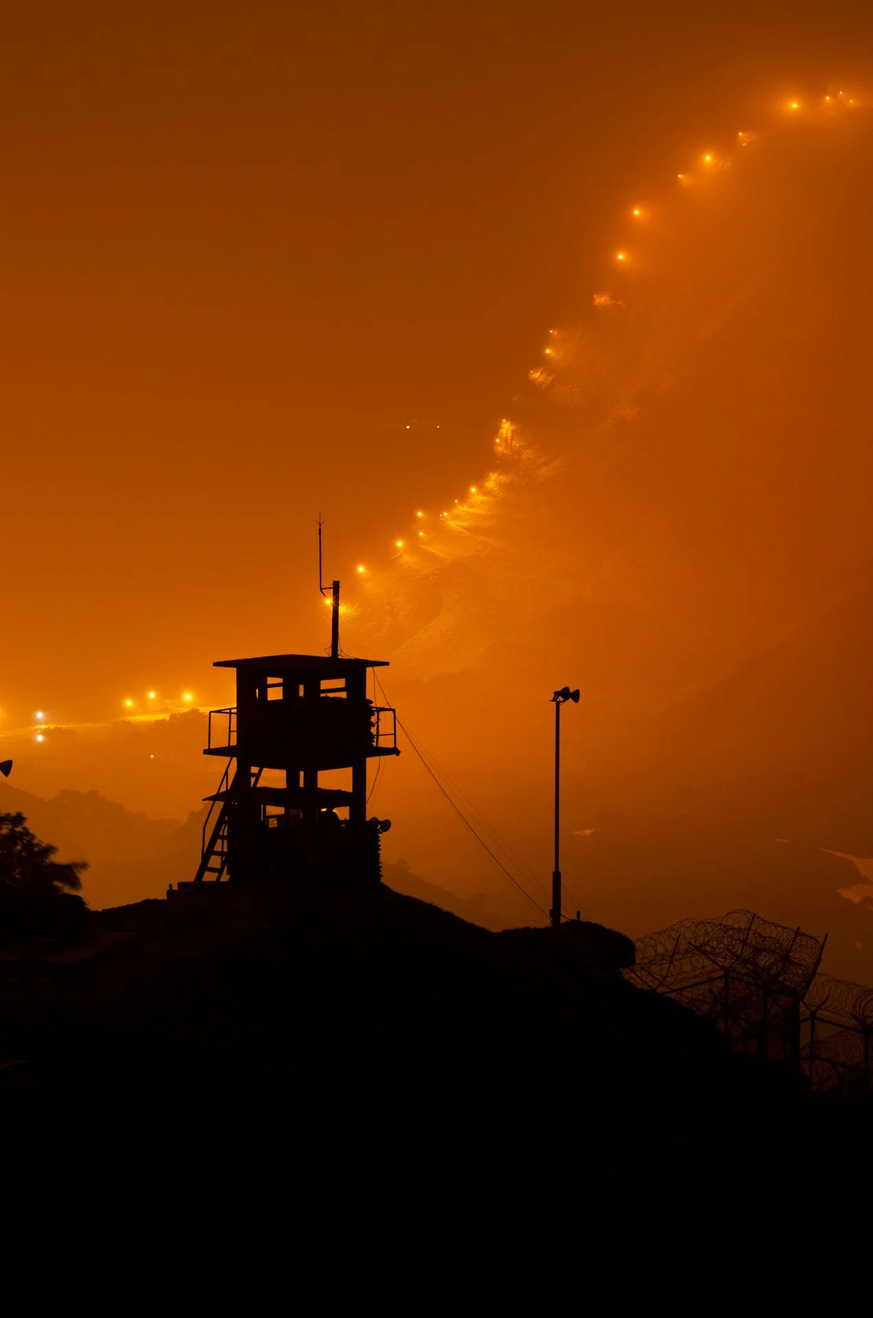
Created by the 1953 Armistice Agreement, the Korean Demilitarized Zone stretches across the peninsula, roughly 250 kilometres long and four kilometres wide. It was intended as a buffer between opposing armies, yet more than seventy years later it remains one of the most enduring physical traces of a war that ended without a peace treaty.
Despite its name, the DMZ is defined by an intense military presence. Fences, minefields, guard posts, patrol routes, and observation towers follow mountains, rivers, and valleys, turning the landscape itself into a system of separation.
At the same time, decades of restricted human access have allowed another landscape to emerge. Forests have reclaimed former battlefields, rivers pass through areas largely untouched by development, and wildlife inhabits territory created for military confrontation. Nature and fortification exist side by side.
This series looks at the DMZ as a landscape suspended between war and peace—a place shaped by vigilance, waiting, and absence, where the division of a country has become embedded in the land itself.